Spatial Data Infrastructure: DMIG
Table of Contents
Abstract #
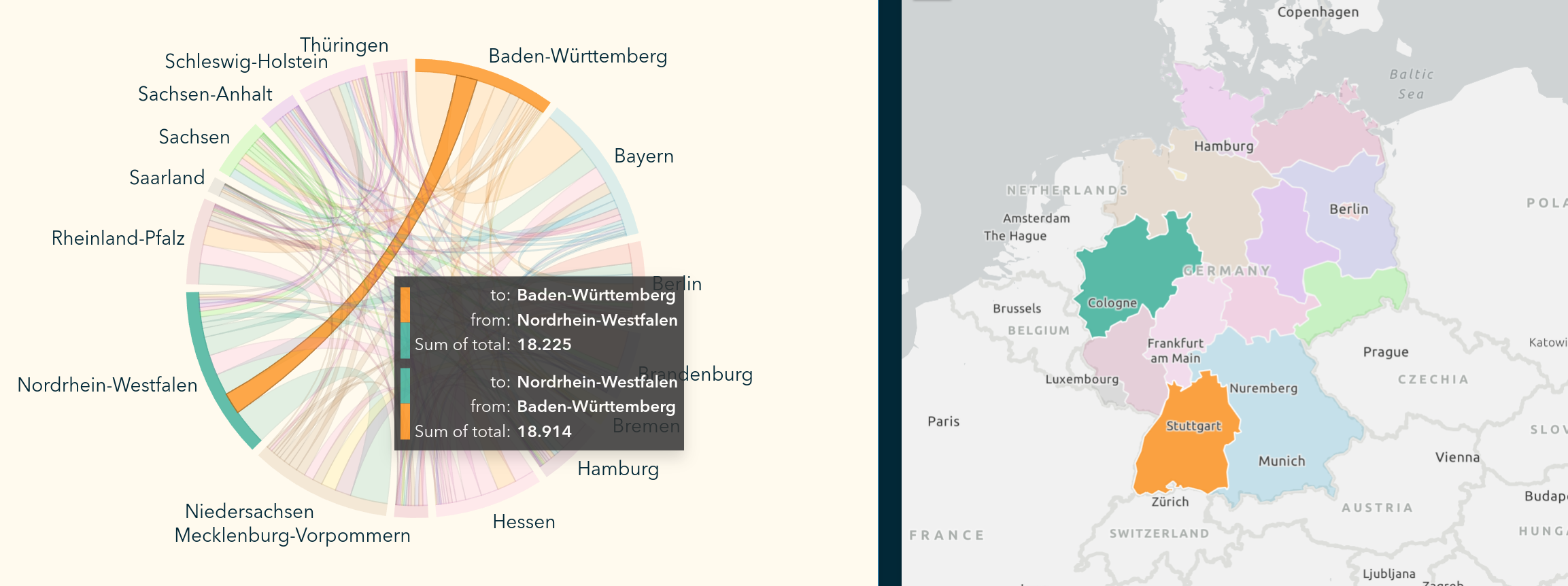
This project provides a Spatial Data Infrastructure (SDI) that allows for the analysis and visualization of annual domestic migration flows within Germany. We utilize statistical migration data from the GENESIS-Online platform and federal-state boundary data from Eurostat to map these movements. The acquisition, integration, and storage of migration statistics and spatial information is conducted programmatically using the Python programming language and a PostGIS spatial database. This approach reduces manual effort and increases the overall repeatability and efficiency of the workflow. Our data is published as an OGC Web Feature Service (WFS) created by GeoServer. A dashboard visualization of the data is created using ArcGIS Insights and aims to provide an interactive platform for potential stakeholders to explore an excerpt of the data. This may also serve as inspiration for further applications.
GitHub #
A detailed overview of the project including all of the code, resources, metadata, project management information, and documentation can be found on GitHub.
DMIG provides a Spatial Data Infrastructure that allows for the analyses and visualization of annual domestic migration flows within Germany.